SEVERE WEATHER BULLETIN #20 FOR:Severe Tropical Storm #RositaPH
- TBN News

- Oct 31, 2018
- 1 min read

Tropical Cyclone: ALERT
ISSUED AT: 5:00 AM, 31 October 2018
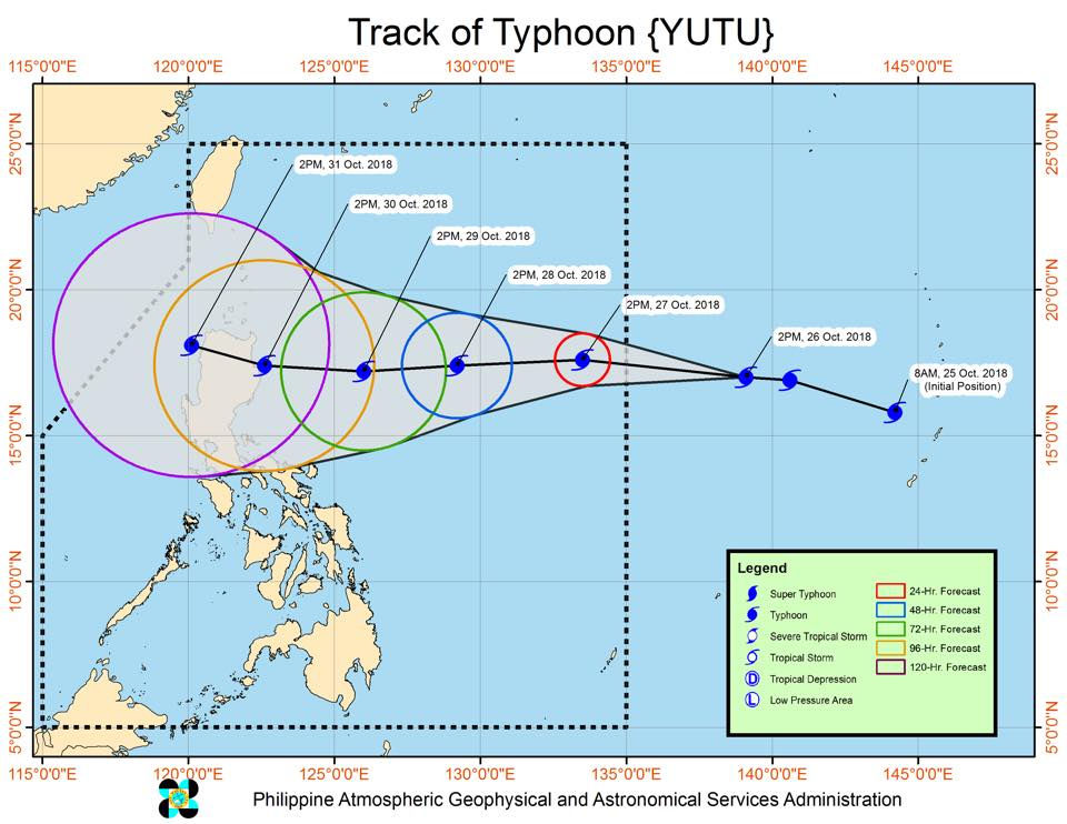
#RositaPH HAS SLIGHTLY WEAKENED WHILE REMAINING ALMOST STATIONARY OVER THE WEST PHILIPPINE SEA.
Light to moderate rains due to the trough of Severe Tropical Storm "ROSITA" will be experienced over the Northern and Central Luzon. Residents in these areas, especially those living near river channels, in low-lying areas and mountainous areas, are advised to take appropriate actions against possible flooding and landslides, coordinate with the local disaster risk reduction and management offices.
Fisherfolks and those with small seacrafts are advised not to venture out over the seaboards of Northern Luzon and the western seaboards of Central and Southern Luzon.
"ROSITA" is expected to exit PAR this afternoon.
TCWSs elsewhere are now lifted.
Location of eye/center: At 4:00 AM today, the center of Severe Tropical Storm #RositaPH was estimated based on all available data at 210 km Northwest of Dagupan City, Pangasinan (17.1 °N, 118.7 °E)
Strength: Maximum sustained winds of 100 km/h near the center and gustiness of up to 120 km/h
Forecast Movement: ALMOST STATIONARY
Forecast Positions:
24 Hour(Tomorrow morning): 395 km West Northwest of Sinait, Ilocos Sur (OUTSIDE PAR)(18.8°N, 116.9°E)
48 Hour(Friday morning):505 km Northwest of Laoag City, Ilocos Norte (OUTSIDE PAR)(20.7°N, 116.6°E)
72 Hour(Saturday morning): 535 km Northwest of Laoag City, Ilocos Norte (OUTSIDE PAR)(21.5°N, 116.9°E)
NO TROPICAL CYCLONE WARNING SIGNAL
SOURCE: Dost_pagasa
Special thanks to:


Comments